RSE "NCGSI" has solid experience, highly skilled personnel and up-to-date technical expertise in carrying out complex engineering surveys
- laying down of centres, creation and development of geodetic networks, control survey, surveyor networks, geodetic networks for special purposes for construction;
- laying of benchmarks, I, II, III and IV class levelling;
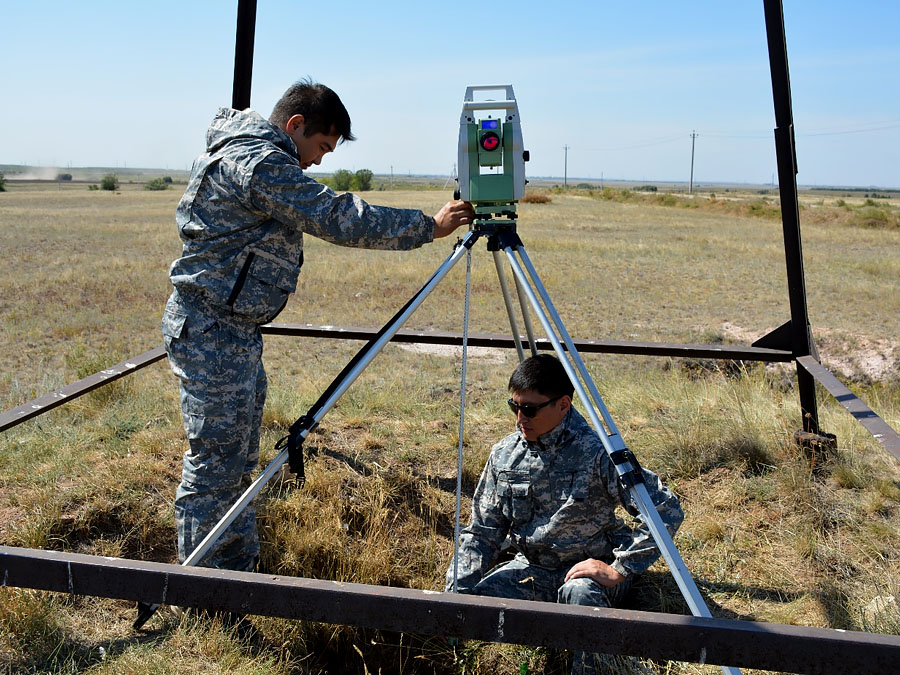
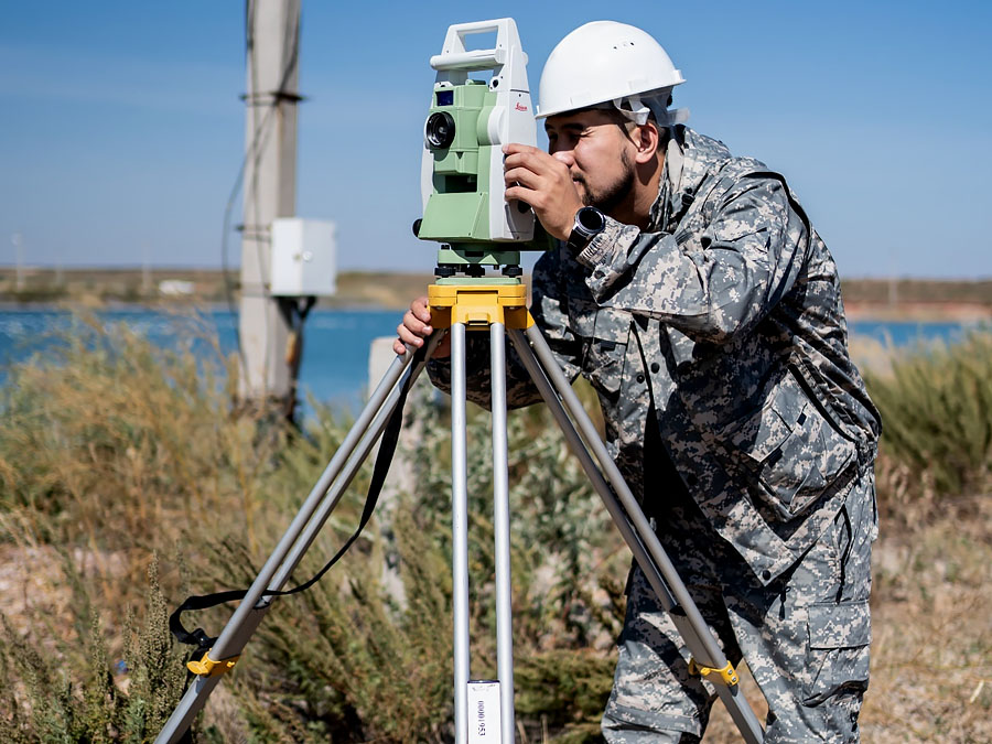
- satellite geodetic determinations;
- special surveying on scales 1:5000 to 1:500, including surveys of underground and above-ground structures and special plans on scales 1:200 and 1:100;
- updating of topographic (geodetic) plans for special purposes on scales of 1:5000-1:200 and cadastral plans in graphic, digital and photographic forms;
- survey operations relating to the surveying and staking and fixing of mine workings, geodetic and other engineering survey points;
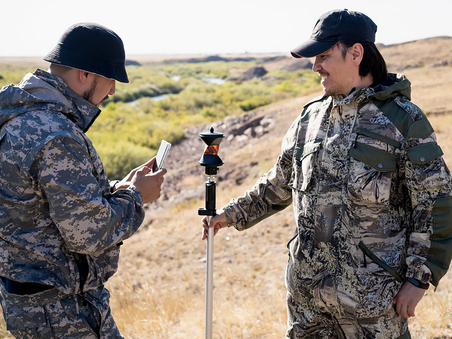
- geodetic stationary observations of deformations of foundations of buildings and structures, the earth's surface and rock mass, including - when performing local monitoring of dangerous natural and technological and natural processes;
- geodetic engineering and cartographic support for geo-information systems of enterprises, settlements and national cadastres;
field routing of linear construction facilities; - survey operations for equipment installation, crane runway alignment and verticality checking of columns, structures and components;
- geodetic surveying for determination of staking for hidden underground structures during repair and other works.
Modernization of the state geodetic support system of the Republic of Kazakhstan provides for the development of state geodetic, leveling, gravimetric networks taking into account modern satellite and information technologies.