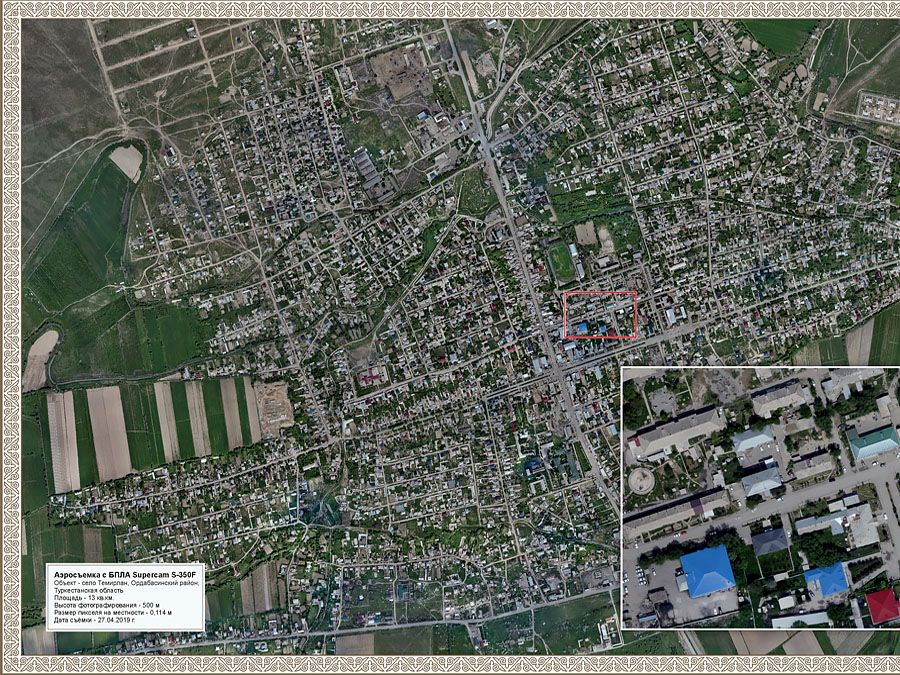
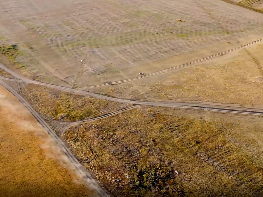
Digital aerial photography is one of the most efficient and cost-effective ways of obtaining geospatial data enabling to provide up-to-date data on the earth's surface and the objects on it within a short time and at minimum cost.
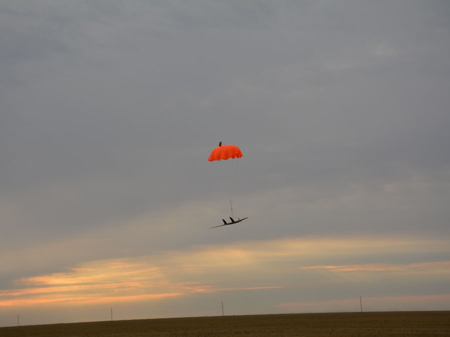
High resolution (up to a few centimeters) and image quality ensure a wide range of applications for aerial survey data. RSE "NCGSI" performs the aerial photography using manned and unmanned aerial vehicles equipped with high-resolution digital cameras and satellite surveying equipment.
The aerial surveying of large areas and at short notice is carried out using an aerial survey unit mounted on the aircraft.
- professional digital transformed terrain image - orthophotomap;
- dense point cloud;
- most faithfully reconstructed 3-D terrain model;
- surface elevation map containing all relief information 3-D relief model.
The processing of aerial photography data is performed using licensed software and advanced technology.
Contact us: This email address is being protected from spambots. You need JavaScript enabled to view it.
Call us: +7 (7172) 248 624

Modernization of the state geodetic support system of the Republic of Kazakhstan provides for the development of state geodetic, leveling, gravimetric networks taking into account modern satellite and information technologies.