"Ontustikgeodesia" branch
Address: Taraz. 30 А Zheltoksan Str.
Phone: +7 /7262/ 454 984, 455 284, 585 196 | Fax: +7 /7262/ 454 984
Email: This email address is being protected from spambots. You need JavaScript enabled to view it.
History of establishment
The survey crew No. 62 was formed in 1947, in 1965 it was renamed Expedition No. 102, in 1992 to Jambul Cartographic and Geodesic Enterprise (Dzhambulgeodesia), in 1993- South Kazakhstan Cartographic and Geodesic Enterprise (Yuzhkazgeodesia), in 1996 – to the State-owned Zhambyl Cartography and Geodesy Enterprise (Zhambylgeodesia), in 2000 – to the Republican state budget-supported enterprise (RSBSE) “Yuzhgeodesia”. RSBSE “Kazgeodesia” with branches was established by Resolution No. 668 of the Government of the Republic of Kazakhstan dated 30/06/2010. Currently, organization is the branch of the “Ontustikgeodesia” of the Republican State Enterprise on the Right of Economic Use “National Center of Geodesy and Spatial Information” of the Committee of Geodesy and Cartography, Ministry of Digital Development, Innovation and Aerospace Industry of the Republic of Kazakhstan.
“Ontustikgeodesia” branch performs the following types of work
Enterprise carries out the state budgetary works and contract topographic and geodetic surveying, mapping work using modern technology on all scales and areas. In addition, geodetic observations are made at the geodynamic test site. The company's area of operation includes almost all of the country's regions. Additionally, work has previously been carried out in the Novosibirsk region, the Tuva ASSR of the Russian Federation and in Kyrgyzstan.
- Establishment and development of state geodetic and levelling networks of all classes;
- Topographic works for design and construction (surveys on scales from 1:10000 to 1:200, as well as surveys of underground utilities and structures, tracing and surveying of surface linear structures and its elements);
- Updating topographic maps and plans to any scale;
- Facade surveys of streets for gas, water, electricity and communication cabling;
- Engineering and geodetic and surveying work;
- Investigation of the earth's surface deformation, and control of the construction of high-rise buildings and engineering structures;
- Establishing of afield boundaries of administrative-territorial units;
- Preparation and publication of thematic maps, plans and atlases for special purposes in graphic, electronic and other forms.
- Field study of soils, hydrogeological surveys;
- Geophysical surveys, reconnaissance survey and plotting;
- Geodetic work related to staking and fixing with reference to geotechnical excavations, geophysical and other survey points;
- Constructing and laying geodetic centres;
- Creation of planning and altimetric survey network;
- Creation and maintenance of special purpose geographical information systems;
- Creation of digital maps at any scale, from various sources (paper maps, halftone image; aerial photographs, etc.);
- Correlation of the cross line screens to the local coordinate system;
- Encoding of graphical information (vectorization);
- Creation of electronic layouts of utilities.
- Set-up of utility line diagrams;
- Determining the cover thickness of parallel and crossing utilities and plotting them on the topographical plan;
- Survey of process areas in large scale;
- Surveying transmission lines and coordinating its supports;
- Creation of digital map for the linear structure corridor.
- Drawing up, preparation for publication of topographical and geographical maps at all scales;
- Publication of atlases for various purposes, tourist plans, contour maps;
- Double-sided lamination for unlimited sizes, paper cutting, binding and more.
Technical fit-out
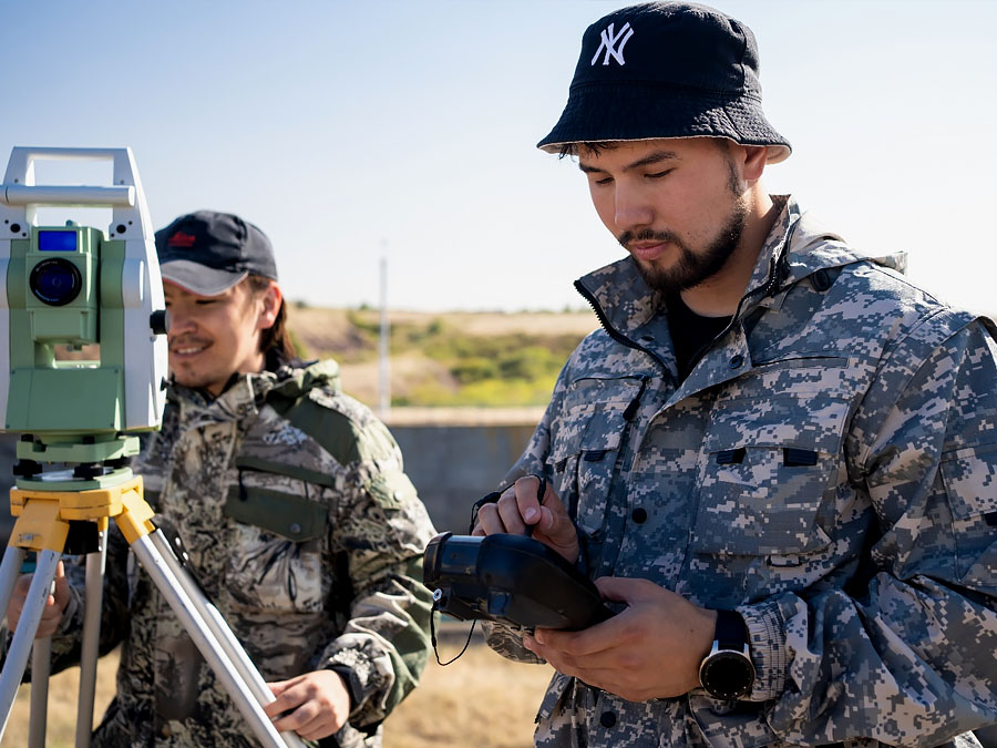
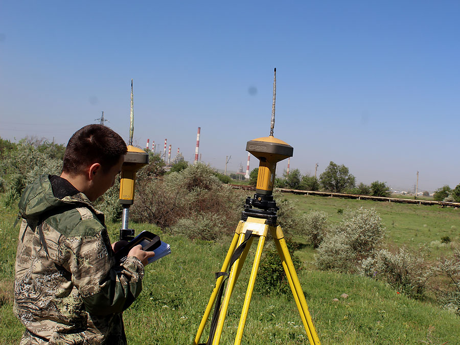
- Land surveying equipment: GPS receivers, electronic total stations, digital and optical levels from AG Leicageosystems, TOPCON, light meters, trace detectors, GPS navigators.
- Computer equipment: PCs, laptops, large format scanners and plotters
- Graphic stations for digital photogrammetry from AG Leicageosystems
- Software: ArcGIS 9.1, Microstation, MapInfo Professional, AutoCad
- Special purpose vehicles
The branch has experience in performance of works by orders:
- Tengizchevroil LLP
- JSC PetroKazakhstan Kumkol Resources
- Romanian Petroleum Company PETROMS.A.
- Mining Company LLP
- CJSC Turgai Petroleum, JV Kazgermunai
- AgipKCO, JICA (Japan International Cooperation Agency)
- NC Kazakhstan Temir Zholy JSC
- Kazaeronavigatsia RSE
- Astanagenplan
- Directorate for environmental programs implementation, East Kazakhstan region
- Transport service centre JSC
- Ervrohim-Karatau LLP


Modernization of the state geodetic support system of the Republic of Kazakhstan provides for the development of state geodetic, leveling, gravimetric networks taking into account modern satellite and information technologies.