“Almatygeodesia” branch
Address: Almaty, 111 Abay Str.
Phone: +7 /727/ 375-60-90
E-mail: This email address is being protected from spambots. You need JavaScript enabled to view it.
Accreditation certificate (PDF)
History of establishment
Kazakh Aerogeodetic Enterprise was organized in Almaty city (Enterprise No. 6 SDGC of the USSR) on November 27, 1944 according to an Order of the Council of People's Commissars of the USSR. According to resolution No. 122 dated 10/03/1945 of the Council of People's Commissars of the Kazakh SSR, KazAE was assigned the specific task of completing the surveying of the entire territory of the Kazakh SSR in 1945-1947 at a scale of 1:100000 for the purposes of state mapping. In 1948, equipment was installed and put into operation, a photographic laboratory, drafting, stereotopographic, computing teams and a technical costing and design team were set up.
A large scope of geodetic work was carried out during the construction of unique structures such as the Medeo highland rink, Mangyshlak NPP, a 370-metre television tower in the foothills of Zailiisky Alatau, the Ice Palace in Almaty, the Irtysh-Karaganda Canal and a number of hydraulic engineering structures. Enterprise 6 was renamed the Kazakh Aerogeodetic Enterprise (Order No. 688 dated 19/12/1989 by Kazgeodesia)
Alma-Ata Geodetic Centre was established On the basis of Joint Complex Expedition No.107 (Order No.257 dated 09/07/1991 by Kaz. ATP). Production Association "Alma-Atageokarta" (Order No. 10 dated 27/03/1993 by Kazgeodesia) was established on the basis of Alma-Ata Geodetic Center)
Production Association "Alma-Atageokarta" was transformed into Almaty Cartographic and Geodetic Enterprise "Almatygeokarta". (Order No. 74 of 02.07.1993 on Kazgeodesia). A state-owned Almaty enterprise of engineering and geodesic surveys "Inggeodesia" was established on the basis of the "Almatygeokarta" enterprise (Order No.16 ОД dated 19/07/1996 by Geodesia). Due to reorganization, on 31/05/2000 the "Inzhgeodesia" enterprise was transformed into the Republican state budget-supported enterprise “Kazgeokart” of the Land Management Agency of the Republic of Kazakhstan (Order No.44II dated 31/05/2000 of the Land Management Agency of the Republic of Kazakhstan).
RNE “Kazgeodesia” with the Kazgeokart branch of the Bureau of Land Management of the Ministry of Agriculture of the Republic of Kazakhstan (Decree of the Government of the Republic of Kazakhstan No. 295 of 18.05.2016) was formed by Decree of the Government of the Republic of Kazakhstan No. 668 dated 30/06/2010.
On September 8, 2020, by Resolution No. 559 of the Government of the Republic of Kazakhstan, RNE "Kazgeodesia" of the Committee for Geodesy and Cartography of the Ministry of Digital Development, Innovation and Aerospace Industry of the Republic of Kazakhstan and the RNE "National Cartographic and Geodesic Fund" of the Committee of Geodesy and Cartography of the Ministry of Digital Development, Innovation and Aerospace Industry of the Republic of Kazakhstan were reorganized by merger and transformation into the Republican State Enterprise on the Right of Economic Use " National Centre of Geodesy and Spatial Information, with branches, particularly in Almaty city.
Types of works performed:
- Generation, development, survey, restoration of state astronomical-geodetic, satellite geodetic and levelling networks of all classes, the density and accuracy of which ensure the creation of state topographic maps and plans;
- Creation and updating of state topographical maps and plans, including those of cities and human settlements, in graphic, digital, photographic, electronic and other forms, the accuracy and content of which ensure the solution of country-wide, defence, scientific and research and other tasks;
- Implementation and use of geodetic satellite technology;
- Geodetic, cartographic, topographic and hydrographic support for delimitation, demarcation and verification of the state border line of the Republic of Kazakhstan, as well as delimitation of the maritime areas of the Republic of Kazakhstan;
- Mapping of the shelves of seas, lakes, rivers and reservoirs;
- Creation and updating of topographical maps for the construction of various above-ground and underground structures and networks, the referencing of buildings and structures to construction sites, and other special works;
- Geodetic, topographical and other special works in the design and surveying, construction and operation of linear and site engineering structures, underground structures and networks;
- Collection, systematization, storage and sale of topographic and geodetic products and special information obtained as a result of production activities;
- Preparation of design and estimate documentation for engineering surveys and topographical and geodetic works carried out by the company, as well as at the request of organizations and departments;
- Metrological support for geodetic, cartographic and topographic works.
Technical fit-out
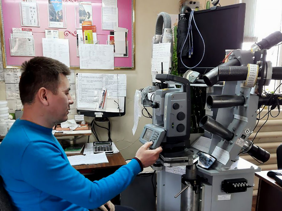
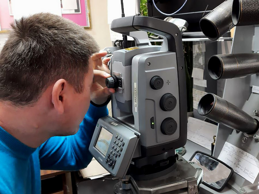
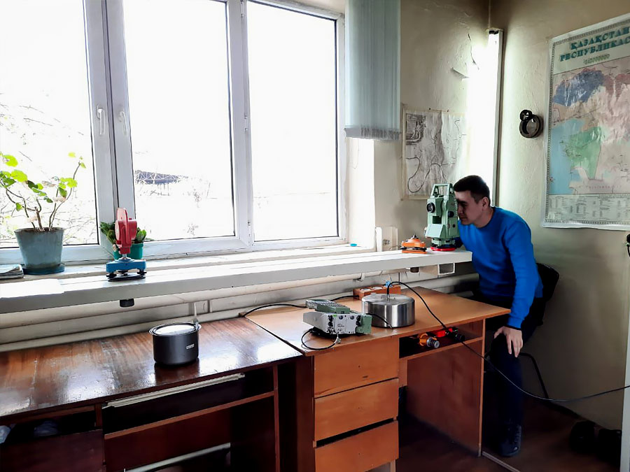
Our branch has the following technical equipment for performance of work:
- Land surveying equipment: GPS receivers, electronic total stations, digital and optical levels from AG LeicaGeosystems, TOPCON, light meters, trace detectors, GPS navigators
- Computer equipment: personal computers, laptops, large format scanners and plotters
- Graphic stations for digital photogrammetry from AG LeicaGeosystems
- Software: ArcGIS, MicroStation, MapInfo Professional, AutoCAD
- Echo sounders with specialised software
- Special purpose vehicles with high cross-country performance: swamp buggies, KAMAZ, UAZ, water scooters, inflatable boats
The branch has experience in performance of works on orders:
- Ministry of Foreign Affairs of the Republic of Kazakhstan;
- Tengizchevroil LLP;
- Kazakhstan Electricity Grid Operating Company JSC;
- NC Kazakhstan Temir Zholy JSC;
- NC KazAvtoZhol JSC;
- NC KazMunayGaz JSC;
- Eurasian Energy Corporation JSC;
- PetroKazakhstan Inc;
- Kazakhmys Corporation LLP;
- KazTransOil JSC;
- Arcelor Mittal Temirtau JSC;
- KATCO LTD;
- Volkovgeologia JSC;
- Government agencies and institutions;
- Water regulating dam on Ishim river in Nur-Sultan city.


Modernization of the state geodetic support system of the Republic of Kazakhstan provides for the development of state geodetic, leveling, gravimetric networks taking into account modern satellite and information technologies.